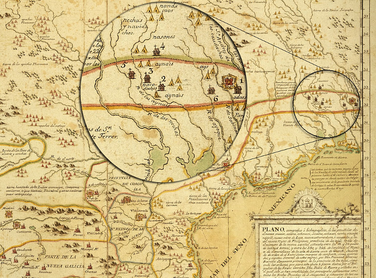
1728 map by the Spanish military engineer and skilled cartographer Francisco Álvarez Barreiro showing the Province of Texas and other areas of New Spain. Presidio Los Adaes is depicted on the far eastern (right) edge of the map befitting its remote location on the edge of the Spanish Colonial world. Map image: Copyright © The British Library; All Rights Reserved; Additional MS. 17,650.b. Inset added. See 18th Century Maps for greater detail.