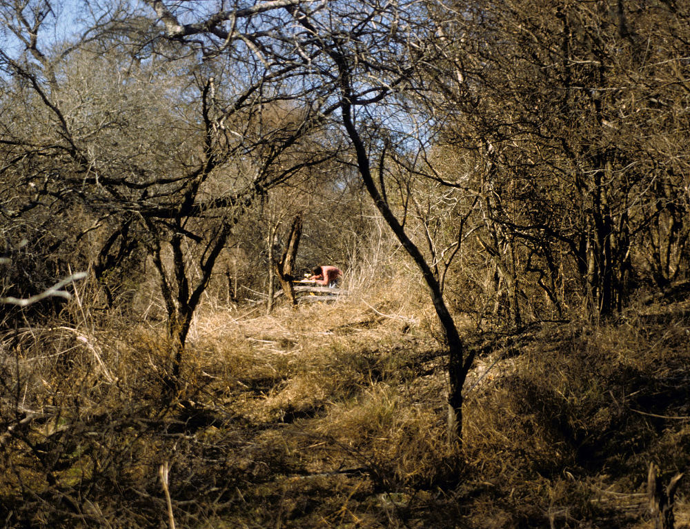
As can be seen, this part of the site area was quite overgrown, and, naturally, the main area where intact deposits occurred and where the main excavation block was located lay within the wooded band paralleling the creek (to the right) and the fenced off agricultural field (to the left). Several sweaty days were spent clearing the site by hand.