|
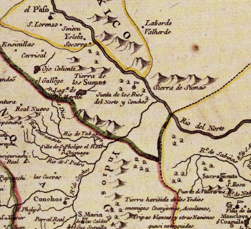
| 1768 map by José Antonio de Alzate y Ramírez, a Mexican-born cleric and leading scientist educated at the best academies of New Spain. He created maps from records kept in the archives of Mexico, explorers' descriptions, and other maps of the day. This map depicts and labels the “Junta de los Rios del Norte y Conchos” fairly accurately for the day. The Rio de Conchos is shown as a smaller tributary of the Rio del Norte (Rio Grande), when in fact the Conchos contributed most of the combined flow of the two rivers. In the upper left is El Paso (del Norte) and in the lower left is Parral Real, the capital of the province of Nueva Vizcaya. |