|
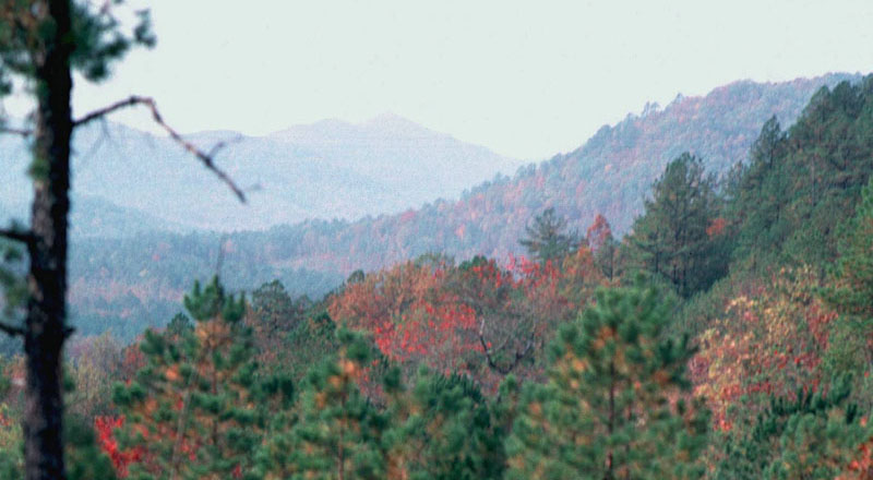
The Ouachita Mountains in southwestern Arkansas and southeastern Oklahoma are the most rugged part of the Caddo Homeland. Modest in size, as mountains go, the Ouachitas are ancient features formed of rocks laid down eons ago that have been folded, faulted, and eroded for millions of years. The tallest are 800 meters (2600 feet) high and the greatest topographic relief is no more than 500 meters (1625 feet). The exposed rock formations consist mainly of sandstone, shale, chert, and novaculite. The exposures of softer rocks, sandstone and shale,have been rounded and pounded by the elements. In contrast, novaculite, the famous Arkanas whetstone, is highly resistant to weathering and forms sharp, steep-sided ridges. Parallel sets of east-west ridges are separated by narrow valleys with fast-flowing rivers, that mostly run west to east. |
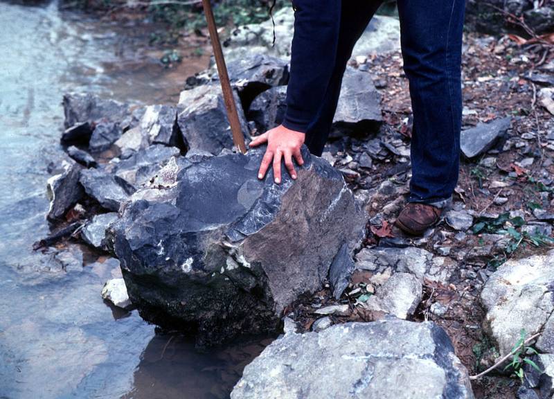
Black novaculite boulder
along stream in the Ouachita Mountains of southwestern Arkansas. Photo
by Bill Martin. |
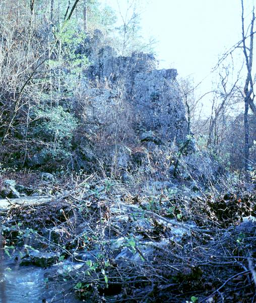
Novaculite outrcrop along stream in the Ouachita
Mountains of southwestern Arkansas. Photo by Bill Martin.
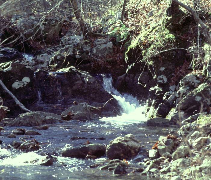
Spring-fed stream flows through novaculite outcrop.
The streams and rivers in the Ouachita Mountains typically flow fast
and clear. Photo by Bill Martin.
|
Certain of the Ouachita rocks were prized by the Caddo and earlier peoples. Novaculite occurs in many color variations and was quarried by prehistoric peoples beginning at least as early as the Middle Archaic period, about 5,000 years ago. Novaculite was fashioned by Caddo flintknappers into a variety of tools including knives and projectile points. The Caddo also sought out crystal quartz from the wide belt of quartz-bearing veins 30-40 miles wide that, like most everything else, runs east-west across the Ouachitas. Quartz was sometimes flaked (chipped), but whole crystals have been found in ceremonial contexts, suggesting that they also had symbolic value. Various other rocks found in the Ouachitas, such as sandstone, shale, and slate, were used by the Caddo for grinding tools, celts (axes), and ritual objects, some of which were traded widely in the Mississippian world. The Oauchita Mountains are heavily forested with oak and hickory predominating to the north and east, giving way to oak and pine to the south. Within the mountains and valleys are many smaller ecological niches that support a diverse array of plants and animals, many of which were used by the Caddo. For Caddo farmers the Ouachita Mountains presented a challenging environment. Narrow stream and river valleys provided only limited floodplain areas suitable for farming and, because of the higher elevations, growing seasons were shorter compared to the rest of the Caddo Homeland to the south and west. The Ouachita River valley runs through the central Ouachita Mountains and provides relatively wide floodplains; not surprisingly, the valley was favored by the ancient Caddo for farming and settlement. |