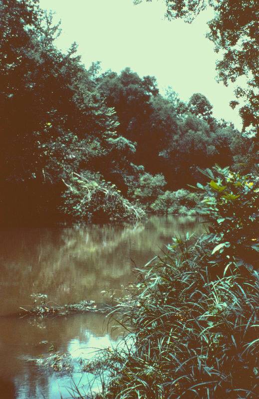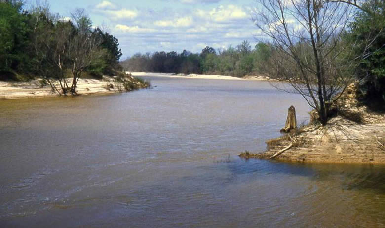
The southwestern part of the Caddo Homeland was home to the Hasinai Caddo groups. This is the only area that is not part of the Red and Mississippi drainage system. The Sabine, Neches, and Angelina rivers are part of the Sabine watershed. The Sabine empties into the Gulf of Mexico almost 300 miles west of the mouth of the Mississippi. The rivers are prone to flooding and have relatively wide floodplains with meander features such as oxbow lakes and terraces of differing ages. Prior to historic land-use practices, the bottomlands were covered in dense hardwood forests and swampy areas.
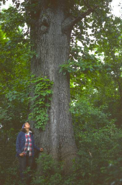
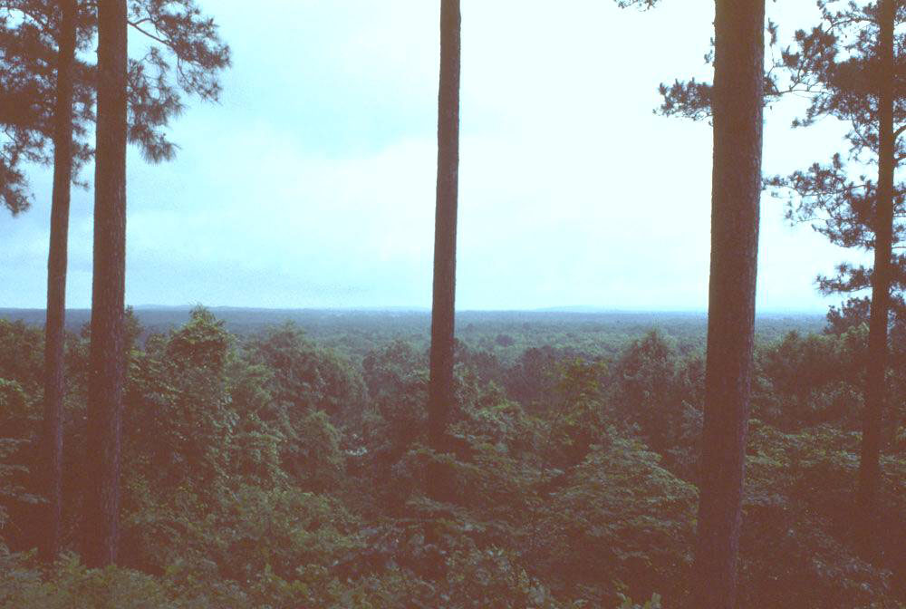
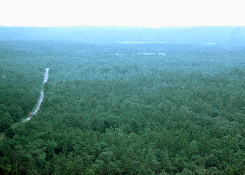
The southwestern Caddo Homeland lies within the southern pine forests (piney woods) of deep east Texas. Upland areas here typically have shallow soils poorly suited for farming. The deeper, more fertile soils along the river floodplains attracted Caddo farmers. Hardwood forests along the rivers also provided habitat for many of the plants and animals upon which the Caddo depended.