|
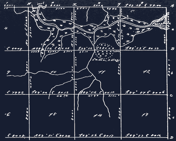
| Historian Jacques Bagur located an 1839 map from the Louisiana State Land office showing an Indian Village (circular pattern at top, center) just south of Jim's Bayou. Map courtesy of Louisiana State Land Office, Division of Administration, Baton Rouge. |