|
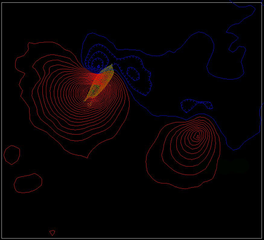
| Contour map of magnetic anomalies pinpointing the position of La Belle shipwreck in Matagorda Bay. This illustration, compiled by State Marine Archeologist Steve Hoyt, was developed by manipulating the original magnetometer data and overlaying the hull of the Belle. As such, it is only an approximation of the relationship between the hull and the anomaly. |