Location, Location, Location: Using a Grid to Determine Context
Download lesson plan and included materials
Subject: Math and Social Studies
Grade: 5th
Author: Tony Castro, revised by Mary Rodriguez (2023)
Time Duration: One or two 45-minute class periods
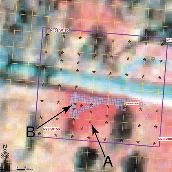
Overview: This lesson introduces students to making inferences about artifacts based on context, or where the artifact is located in relation to other artifacts or its surroundings. This lesson also reinforces the use of a grid system to find location.
Objective: Students will use a grid system to study archeology, make inferences about artifacts, and make conclusions about the past lifeways of ancient Texas.
TEKS: Mathematics, Grade 5
- (1A), apply mathematics to problems arising in everyday life, society, and the workplace
- (1D), communicate mathematical ideas, reasoning, and their implications using multiple representations, including symbols, diagrams, graphs, and language as appropriate
- (8C), graph in the first quadrant of the coordinate plane ordered pairs of numbers arising from mathematical and real-world problems, including those generated by
TEKS: Social Studies, Grade 5
- (5.23A), differentiate between, locate, and use valid primary and secondary sources such as technology; interviews; biographies; oral, print, and visual material; documents; and artifacts to acquire information about the United States
- (5.24A), apply mapping elements, including grid systems, legends, symbols, scales, and compass roses, to create and interpret maps
Materials:
- "Using a Grid System to Place Artifacts in Context" handout (included)
- "A Grid Map of the Artifacts" handout (included)
- "Archeological Site Analysis" handout (included)
- A set of clue cards for each group (included)
- Three signs that say "Area 1," "Area 2," and "Area 3"
- 11 signs with letters A through K (one letter on each sign)
- Tiled floor or taped grid on the floor
Activities and Procedures:
Step 1: Place the signs on the wall or around the room as follows: under "Area 1," put the letters B, D, J, and K; under "Area 2," put letters C, E, G, and I; under "Area 3," put letters A, F, and H.
Step 2: Divide students into groups of four. Give each group the handout "Using a Grid System to Place Artifacts in Context." Explain that archeologists learn important information from artifacts based on where they are found in relation to other artifacts and the surroundings.
Step 3: Designate a recorder, leader, materials person, and secretary. Students follow the procedure on their handout, "Using a Grid System."
Step 4: Students prepare the handout "A Grid Map of the Artifacts" by numbering each block 1-15, across the top of the horizontal axis, and putting letters A-O along the vertical axis, with A at the top (therefore the top block on the left will be A1). Then students record the coordinates from each area and each artifact of the grid. As a guide to creating their grid map, they should use the floor tiles. Each floor tile should represent one square on their grid system. If some of the tiles are rectangular, ask the students to have two grid boxes for each tile or tape the grid onto the floor.
Step 5: Based on the information in their grip map, students arrange the artifact cards into three separate areas.
Step 6: Students then answer the questions on "Archeological Site Analysis" sheet.
Note: Even if the dimensions of the tiles are not exactly square, they should still be used to guide students in locating artifacts or items on their grid.
Closure: Have students select one of the areas and discuss how the artifacts and clue items in that area tell them what happened in the past.
Extension Activities: The group shuffles the clue cards and then selects three cards in random order. Students write down what they think might have happened in an area if these three clue cards were found close together.
Assessment: Students will correctly complete the "Using a Grid System" handout, "A Grid of Artifacts" and "Coordinate recording table" handout, and "Archaeological Site Analysis" handout.