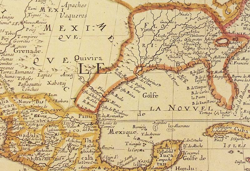
| 1650 French map by Nicolas Sanson D'Abbeville entitled "Amérique Septentrionale." Caddo groups including the Nacquatex are shown 400-500 miles east of their actual locations, reflecting the poor knowledge of North American geography at that time. | 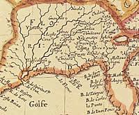
Detail of 1650 French map by Nicolas Sanson D'Abbeville
entitled "Amérique Septentrionale." Caddo groups
such as the Nacguatex are shown 400-500 miles east of their actual
locations, reflecting the poor knowledge of North American geography
at that time. Click to view larger image.
|