Explore Los Adaes
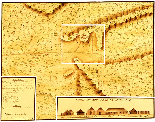 Urrutia Map — Los Adaes in 1767
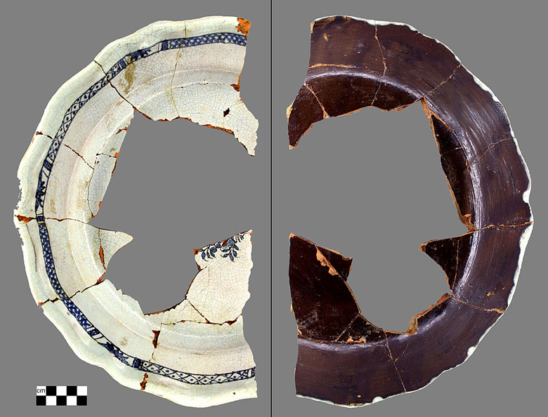
Pieces of the Past
|
In 1767 the Marqués de Rubí visited Los Adaes as part of an official inspection of all of the presidios of the Spanish province of Texas. Cartographer Joseph de Urrutia accompanied Rubí and drew this extraordinary map accurately depicting Los Adaes. This map serves as a fine guide for the archeological investigations at Los Adaes. |