|
||||||
|
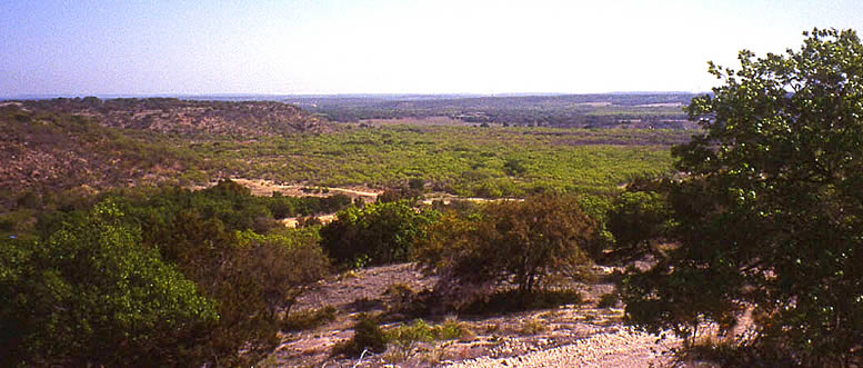
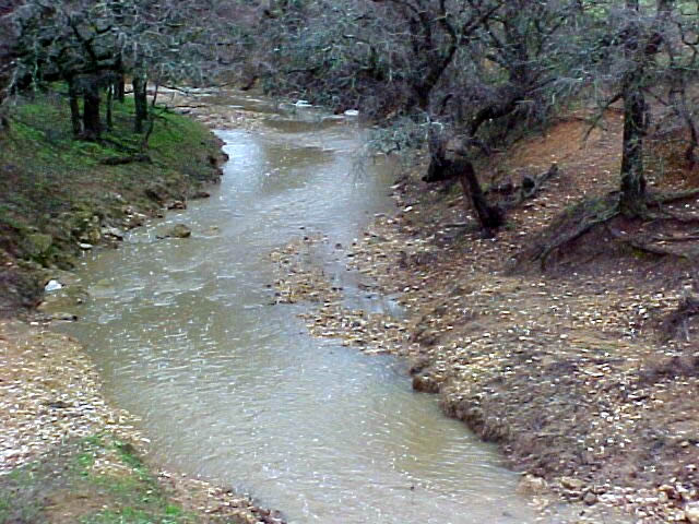
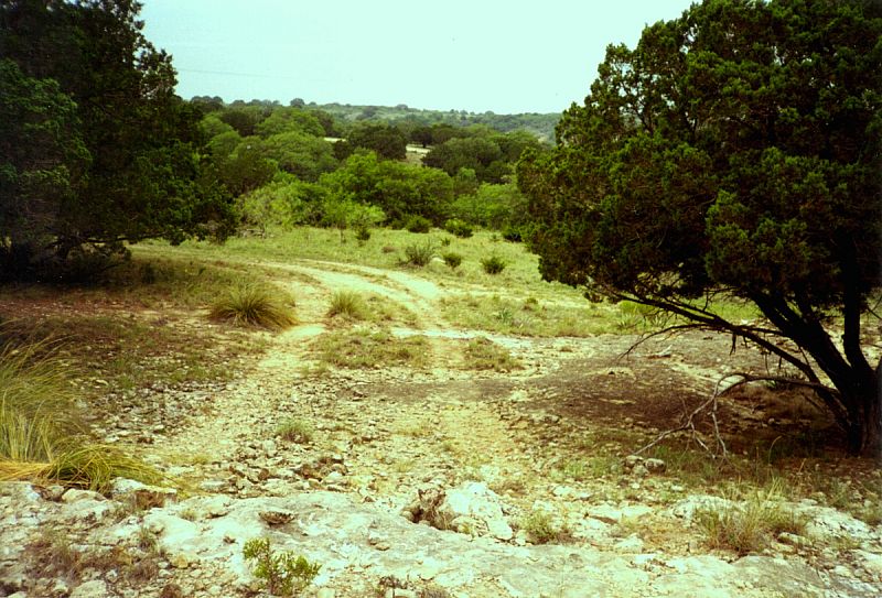
The area that is now called Camp Bowie lies within the Rolling Plains physiographic region. Its gently rolling hills are cut by seasonally active steams and are dotted with stands of oak, juniper, mesquite, pecan and elm trees along with grasses and cacti. But the landscape we see today may scarcely resemble what hunters and gatherers saw in the prehistoric past, prior to the 17th century (1600s). Over the past 10,000 years, the vegetation of the Camp Bowie area shifted between grasslands and woodlands as the climate fluctuated between dry and moist periods. Brown County is in a transitional climatic zone between the semi-arid western half of Texas and the increasingly humid eastern Texas. Climatic shifts change the dominate vegetation patterns and food supply and, in turn, the availability and density of animals and birds. Prehistoric hunters and gatherers would have adapted to the changing resources as well. Reconstructing the past environment is important to the understanding of why people camped in particular areas and what resources they may have been using. Understanding these questions helps us to better understand why burned rock middens are so common in the Camp Bowie region. Using data such as fossil pollen from bogs and dry caves and animal bones from archeological sites, scientists have been able to reconstruct past environments in some areas. Preserved pollen from certain species of grass or trees helps indicate whether a prairie or a woodland was present at various times in the past. Finding bones of animals such as bison—which inhabit grasslands—or certain species of snails—some of which thrive in aquatic settings, others in more arid settings—provides another line of evidence to past environmental conditions. From roughly 18,000 to 10,000 years ago, Central Texas began to change from generally cool, moist conditions to a warmer and drier environment. This period, termed the Late Pleistocene era, was followed by a moderately moist period from about 8,000 to 10,000 years ago (the Early Holocene period). The Middle Holocene (4,000 to 8,000 years ago) was generally warm and/or dry, with a brief moist (mesic) interlude sometime between 5,000 and 6,000 years ago. By Late Holocene times about 4,000 years ago, the climate shifted back to wetter conditions similar to the modern climate. These long-term generalizations are, of course, just that; short-term fluctuations, such as multi-year droughts, would have sometimes caused drastic changes in how people used the landscape. Several types of evidence hint at a dryer period between about 750 to 1,500 years ago, while a more mesic interval is suggested for the last 750 to 800 years. While all of the different data may not be in agreement, it is clear that the past environment was not static, but fluctuated between warmer, drier and cooler, moister conditions. For the Camp Bowie area, the full impact of long-term climatic changes on the plant and animal communities is—for the most part—unknown. More recent changes, largely due to human intervention, are more noticeable. These include an historic increase in woody species, especially juniper/cedar and mesquite, caused by the cessation of range fires and severe overgrazing by livestock in the late 19th and early 20th centuries, the subsequent clearing of wooded areas, the pumping of water for irrigation that has lowered water tables, and the impacts of military training. |
|
||||